
Two survey modes

to improve your efficiency

Never Wrong Vs. Fixed Priority


Tersus creatively provides two survey modes for users, never wrong (accuracy priority) and fixed priority. The never wrong (accuracy priority) mode guarantees the accuracy of customer’s survey points through strict threshold constraints, which is suitable for scenarios with high accuracy requirements such as RTK control survey; the fixed priority mode focuses on improving user measurement efficiency by seeking a balance between accuracy and the time required to get a fixed solution while satisfying the specification requirement of accuracy (RMS≤5cm). The Tersus R&D team controls the satellite searching status of the board through internal commands, including receiving different constellations, satellite altitude angles, signal-to-noise ratio satellites, and other forms by setting them to reproduce complex scenes such as half-sky, urban canyon, dense forest cover, and so on. And we statistically analyze the fixed speed and accuracy RMS values of never wrong VS fixed priority mode in the lab. 

The following gives the actual measurement data of the half-sky scene, using Tersus Geobee30 base station, baseline distance of 15km, in the half-sky obscured scene, using GPGGA logging to identify the GNSS status identifier, count single RTK initialization from state 2 (code difference) to state 4 (fixed) duration, a total of 10 times initialization; at the same time, each time after completing RTK fixed, continuously observe 10 times, count and analyze the accuracy of survey points in a different mode. Figure 1 shows the comparison of the time required for fixation in the two modes;


You can see from Figure 2 that in the fixed priority mode, the plane mean square error is 1.98 cm, and the elevation mean square error is 2.03 cm; 


From Figure 3, in the never wrong (accuracy priority) mode, the plane means the square error is 1.53 cm, and the elevation means the square error is 1.72 cm.


You can see that in this scenario, the average fixation speed of the fixed priority mode is increased by about 38% compared to the average fixation speed of the never wrong (accuracy priority) mode. At the same time, there is no significant decrease in the accuracy. 

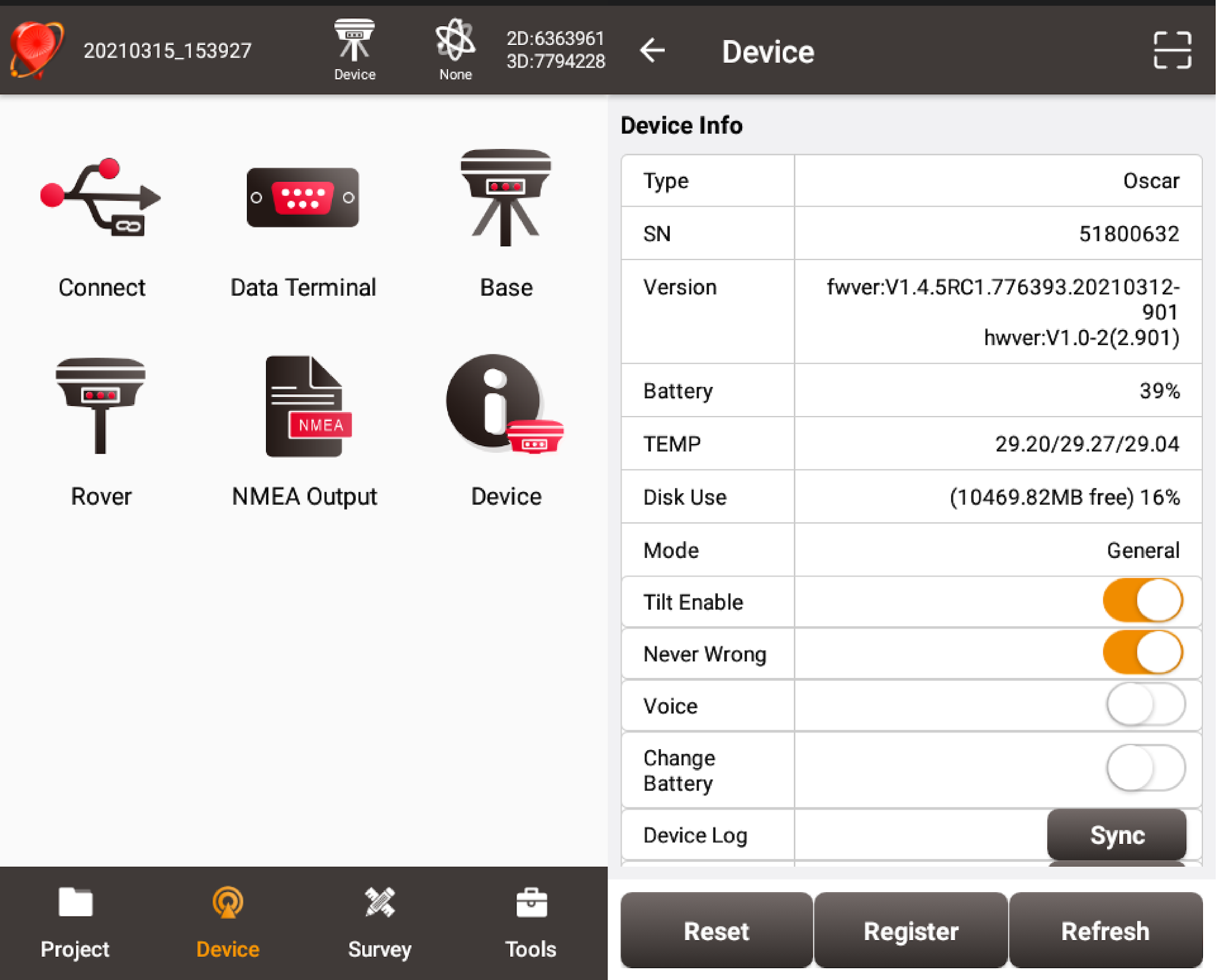
The two modes support hot-switching, so you can choose the survey mode you want at any time during the measurement. Just follow the steps below and use your fingers to configure it in the Nuwa app.


Comments

Popular posts from this blog

Tersus Geomatics Office - Static Surveying - Data Processing

Tersus Geomatics Office is integrated office software to manage and process data for NeoRTK, the RTK survey receiver. It is laid out with visualized toolbars and logical icons to easily handle GNSS data processing, baseline processing and network adjustment, etc. It is the software set to import, update and analyze data effectively.  Watch the video to know how to do data processing after static surveying data collection with NeoRTK.  Learn more, click here .  Inquiry, click here . 

What is CORS network? How to connect to CORS network with external Bluetooth module and mobile phone?

A CORS is a Continuously Operating Reference Station. The CORS is an appealing way to do RTK due to its convenience and large coverage area. While Tersus Precis-BX305 currently does not support build-in NTRIP client feature. An alternative way to connect CORS network is employing external Bluetooth module and a cellphone. Here is a detailed procedure about how to connect to CORS Network with Precis-BX305 board.  Demonstration of connecting Precis BX305 to CORS Network Hardware & Software Requirement Precis-BX305 GNSS antenna GNSS antenna cable  External Bluetooth module Bluetooth cable Cell phone (android system) 5V DC charger Software required Ntrip client (free android apps)    Connect to CORS Network Please follow below steps.  Connect GNSS antenna to Precis-BX305. Connect external Bluetooth module to either COM1 or COM2 of the board Connect to power supplier and plug in/turn on the power Turn on the Bluetooth of the mobile phone and scan and pai

What is the principle of GNSS positioning?

Satellite based positioning relies on measuring distance between satellite and receivers. With known satellite position and measured distance between satellite and receiver, the coordinate of receiver can be calculated. However, the electromagnetic signals emitted by satellites are perturbed by atmosphere and clock errors, which degrade GNSS positioning accuracy. There are two types of positioning mode, one is point position and the other is relative position (see Fig 1). Point positioning includes standard point positioning (SPP) and precise point positioning (PPP). Their major difference is whether use the carrier phase observation. Relative positioning also includes two types: DGPS and RTK. Their difference is the latter one uses carrier phase observation as well. Relative positioning cancels most error sources in distance measurement by making difference between two receivers, so it is more simple and reliable, but it only measures relative position. In practice, the coordinate of